
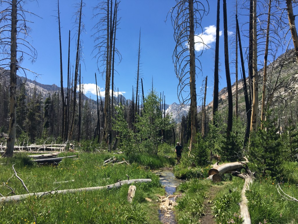
Day 13: 12.3 miles, 138.1 cumulative, Little Pete Meadow to Upper Palisade Lake (10,840′)
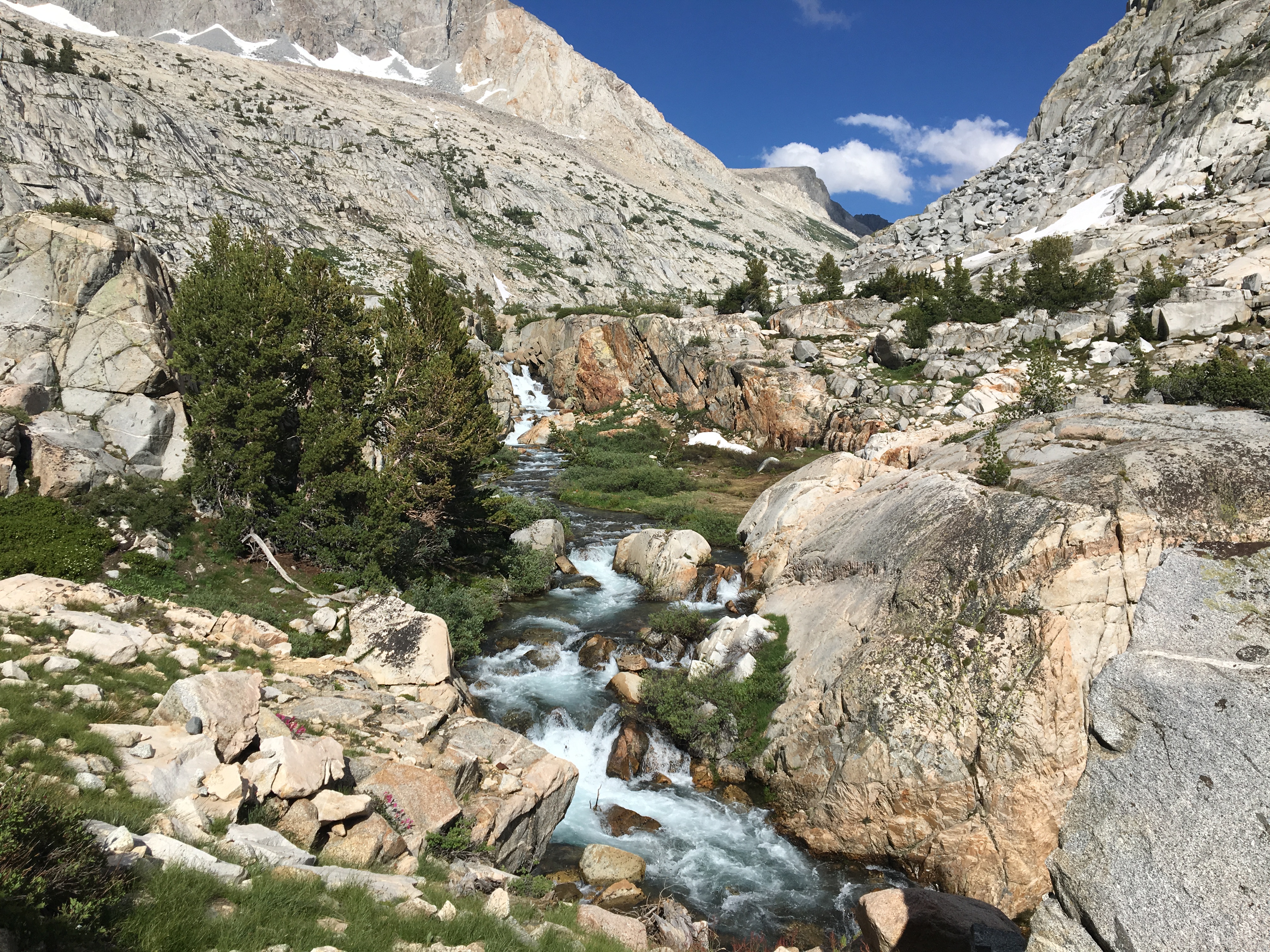
Our first five miles day 13 were relatively flat, climbing a gradual 1000′. First we followed the Middle Fork Kings River, then turned east and followed Palisade Creek. A word on “creeks” in the Sierras. I have always thought of creeks as peaceful little streams. All the creeks we came across were raging rivers of white water roaring down granite mountainsides. (Of course it could just be a 200% snow year thing) We didn’t understand why they were called creeks, but the frequency with which we hiked along the sounds and sights of white water was one of my favorite parts of hiking in the Sierras.


The only “streams” we encountered were when the trail was flooded or when we had to cross streams of snow melt that weren’t even on the map.

Finally we came to our climb of the day. Okay so technically not a pass, it is infamous. The Golden Staircase climbs a very steep 1500′ up dry, exposed switchbacks. It was hot, it was steep, and it was hard. Two hours of struggle. Gorgeous views of course…but dang.


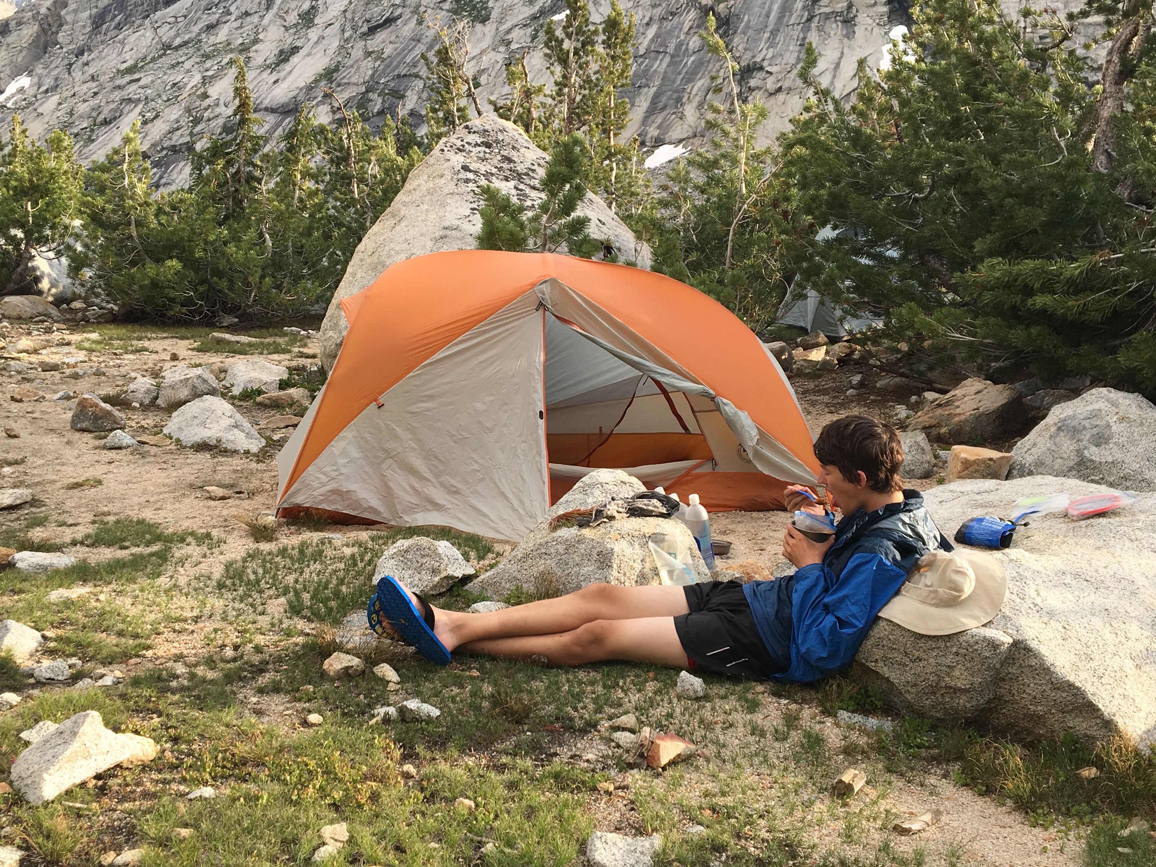
Somehow I made it to the top. It was beautiful, and soon we came to Palisade Lakes. The lower lake was lovely and I wanted to stop because I was tired from the climb. But to set us up for Mather Pass the next day we pushed on another mile to the upper lake where we found a perfect spot to rest our weary selves.


Day 14: 10.3 miles, 148.4 cumulative, Palisade Lakes to Lake Marjorie (11,050′)
We had 1300′ and about 3 miles until Mather Pass (12,100′). It’s not generally considered one of the harder passes, but that was not our experience. The climb was hard, the altitude really getting to me. But the surprising part was the snow. There wasn’t a lot of it, but the sections we had to navigate were downright scary. There were two long snowbanks straight across the rocky slope that fell very steeply to our downhill side. They were in the shade until mid morning, so when we crossed, the snow was still hard and icy. Every tiny slip of my foot made my heart race since sliding downhill would have been very bad. In between the two snow sections was a loose boulder scramble where each step required balancing on a large boulder, or loose rocks, or on thin snow. Climbing Mather was the scariest time of the trail for me. But we didn’t die, thus making it a worthwhile adventure, and the views from the top were amazing with a fourteener nearby and Palisade Lakes below.

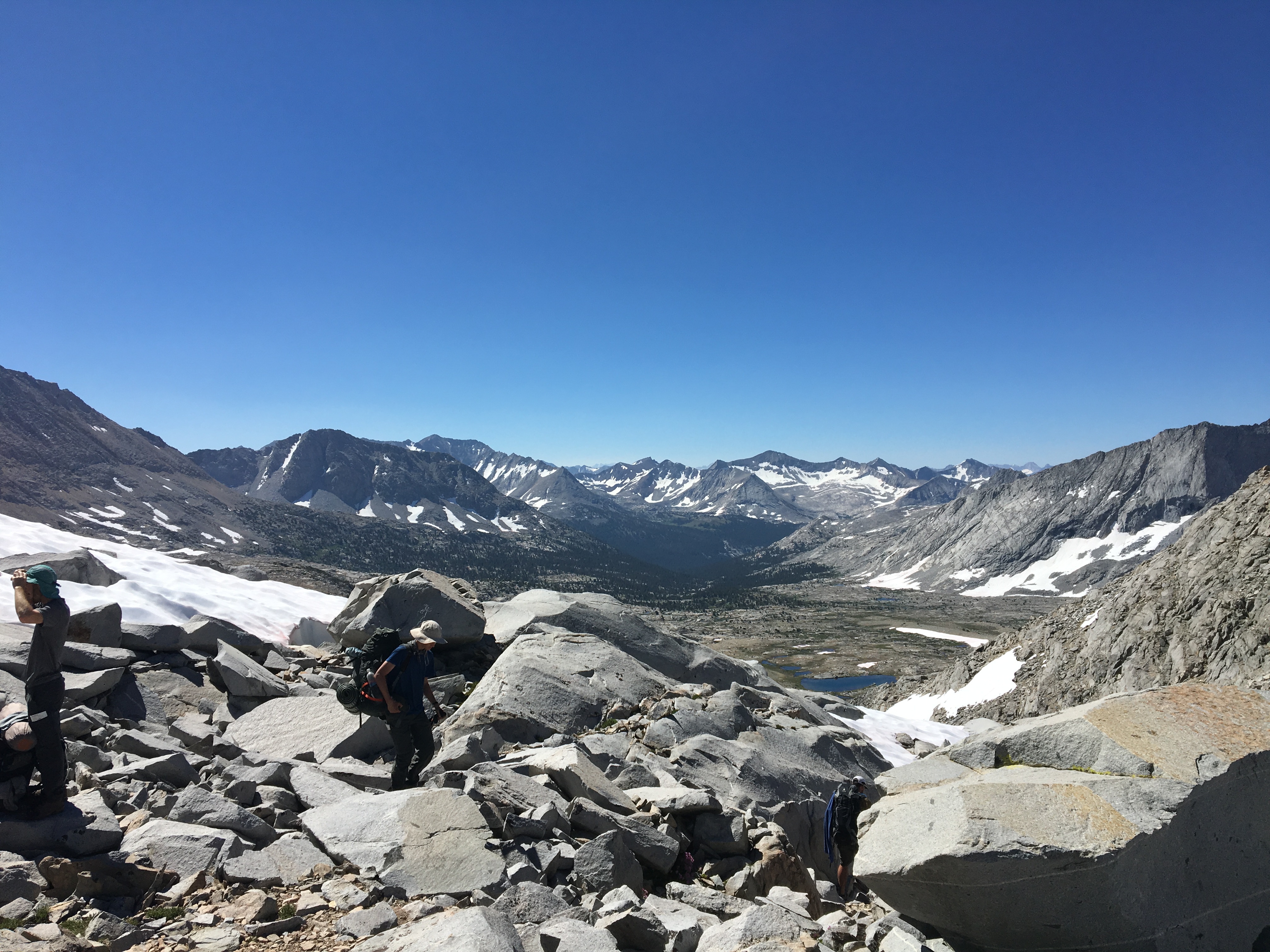
At the top we met Josh and Amber who had camped near us. And as we sat there…James showed up. We hadn’t seen him since VVR and learned that Cindy had bailed due to her ankle, and Sara had gone with her. There were several others…we had formed a little hiker bubble. One by one we descended the dry pass to the headwaters of the South Fork Kings River.


Eventually we were hiking along the South Fork Kings River. This was another dangerous river this season and had claimed the life of a PCT hiker in July. It consisted of two crossings, so what hikers had done this season was to just stay on the east side and make their own trail thus avoiding the high crossings. NOBO’ers had told us this. So when we came across a tall cairn on the trail, we just knew this was where we left the trail. We crossed the river safely in the meadow and then followed many cairns left by previous hikers south along the river. So many hikers had taken this unofficial trail, following the cairns for a mile and a half, that there was a faint social trail. We followed it easily marveling at how simple word of mouth and hiker built cairns had saved so many from danger.


We made it to Lake Marjorie, another cold but beautiful alpine lake. Nathan fetched water, I cooked, we slept. Some nights that was all we could manage.


“None of Nature’s landscapes are ugly so long as they are wild.” -John Muir
